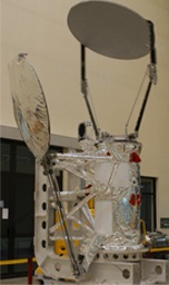
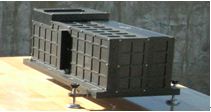
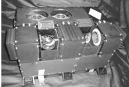
FY-3B Satellite
Description
- 2nd flight unit of the FY-3 series.
- Main mission: operational meteorology.
- Substantial contribution to ocean and ice monitoring, climate monitoring.
- Significant contribution to atmospheric chemistry and space weather.
| Orbit | Sunsynchronous orbit |
|---|---|
| Altitude | 836 km |
| ECT | 13:40 asc |
| Mass at launch | 2298 kg |
| Dry mass | 2234 kg |
| Power | 2480 W |
| Launch | 2010-11-05 |
| End of service | 2020-06-01 |
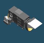
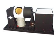
Payload
| Picture | Acronym | Full name |
|---|---|---|
|
MERSI-I | Medium Resolution Spectral Imager-I |

|
VIRR | Visible and Infra-Red Radiometer |
|
IRAS | Infra Red Atmospheric Sounder |
|
MWTS-I | Micro-Wave Temperature Sounder-I |

|
MWHS-I | Micro-Wave Humidity Sounder-I |
|
MWRI-I | Micro-Wave Radiation Imager-I |
|
TOU | Total Ozone Unit |
| SBUS | Solar Backscatter Ultraviolet Sounder | |
|
ERM-I | Earth Radiation Measurement-I |
| SIM-I | Solar Irradiance Monitor-I | |
| SEM | Space Environment Monitor |
Data Circulation
DPT (Delayed Picture Transmission) to acquire the on-board stored global data.
MPT (Medium-resolution Picture Transmission), for X-band real-time broadcasting of information of MERSI data.
HRPT (High Resolution Picture Transmission) for real-time broadcasting of full information of instruments aboard but MERSI.
Products
| Payload | Datasets |
|---|---|
| MERSI-I | L1 data, L2L3 product |
| VIRR | L1 data, L2L3 product |
| IRAS | L1 data, L2L3 product |
| MWTS-I | L1 data |
| MWHS-I | L1 data, L2L3 product |
| MWRI-I | L1 data, L2L3 product |
| TOU | L1 data, L2L3 product |
| SBUS | L1 data, L2L3 product |
| ERM-I | L1 data |
| SIM-I | L1 data |
| SEM | L1 data |
| MULSS | L2L3 product |
| ERBM | L2L3 product |
Gallery

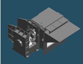
Instruments of FY-3A/B

First visual image by FY-3B
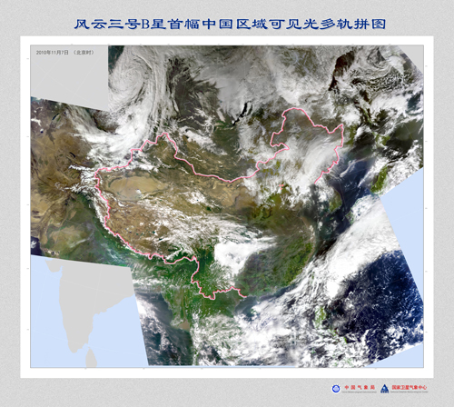
First mosaic visual image by FY-3B