FY-2G Satellite
Description
- 7th flight unit of the FY-2 series.
- Mission: operational meteorology.
- Significant contribution to space weather.
| Orbit | Geostationary orbit |
|---|---|
| Altitude | 35786 km |
| Position | 99.5°E (before 2015-06-01), 105°E (2015-06-01 to 2018-04-09), 99.2°E (after 2018-04-16) |
| Mass at launch | 1380 kg |
| Dry mass | 680 kg |
| Power | 300 W |
| Launch | 2014-12-31 |
| End of service | ≥2021 |
Payload
| Acronym | Full name |
|---|---|
| S-VISSR | Stretched Visible and Infrared Spin Scan Radiometer |
| SEM | Space Environment Monitor |
Data Circulation
CDAS (Command and Data Acquisition Station) for real-time acquisition of the full information.
HRIT (High Rate Information Transmission) for near-real time broadcasting of S-VISSR full resolution data / images.
LRIT (Low Rate Information Transmission), replacing WEFAX for broadcasting of image frames and other data.
DCS (Data Collection Service) to relay messages from self-timed DCP (Data Collection Platform).
CMACast [not exclusively dedicated to FY-2 data] DVB retransmission service.
Products
| Payload | Datasets |
|---|---|
| VISSR | L1 data, L2L3 product |
| SEM | L1 data, L2L3 product |
Gallery
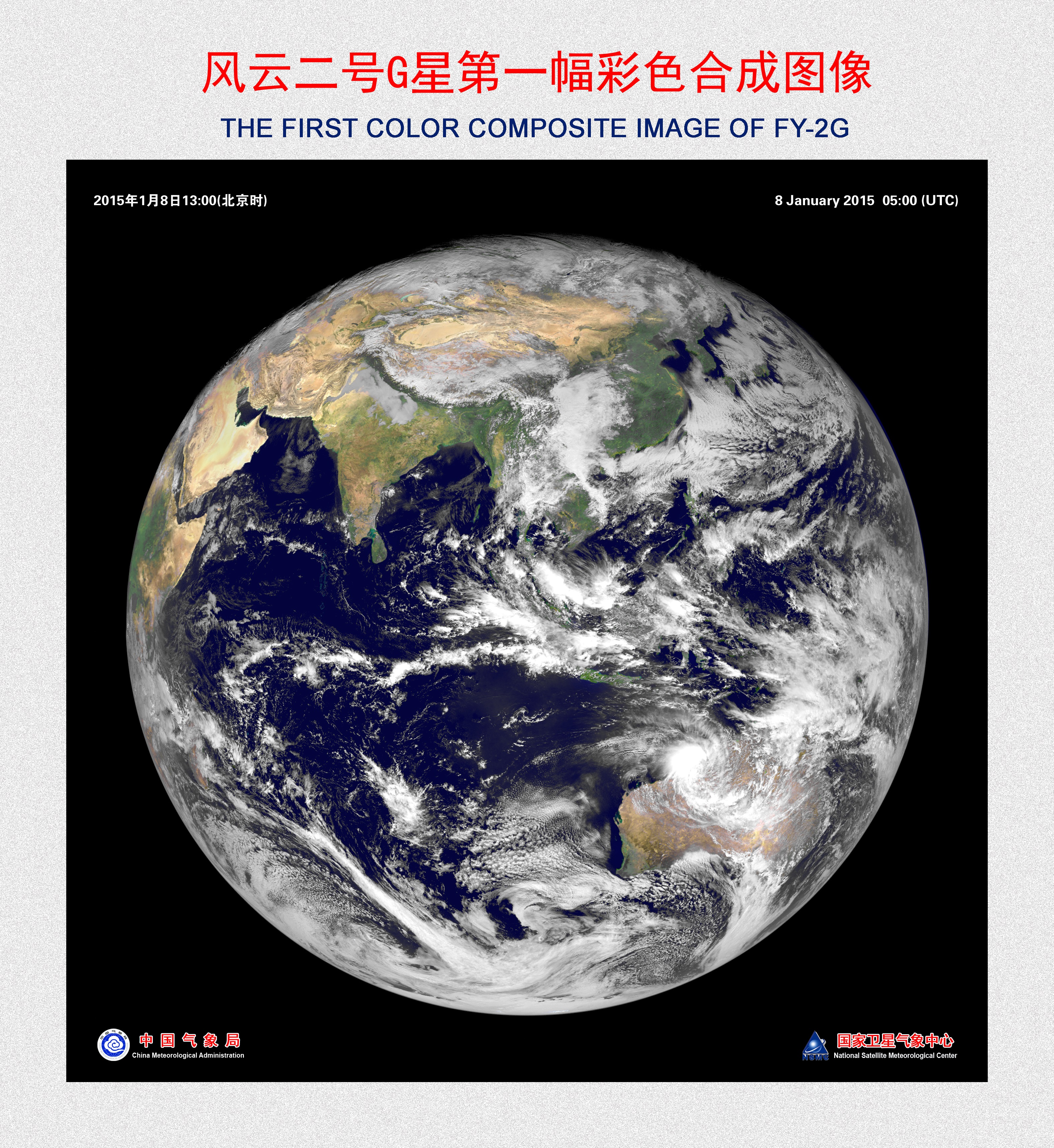
First color image by FY-2G
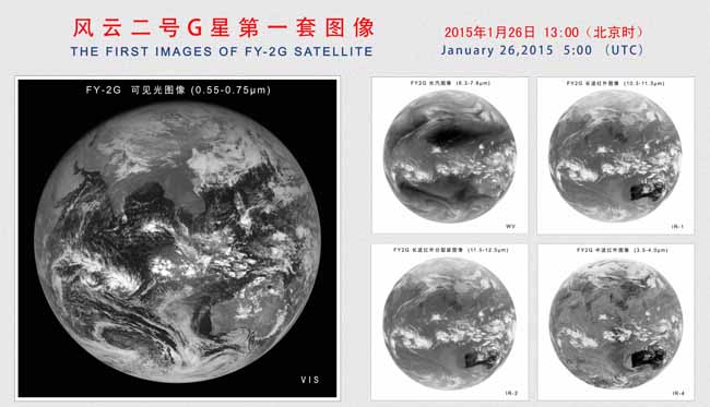
First image by FY-2G