Volcanoes are points in the Earth's crust which have ruptured, allowing lava, ash, rocks and gas to erupt during periods of seismic activity.
Satellites are used to observe active volcanoes, obtaining optical and radar imagery of an eruption and assessing the subsequent damage from lava and rocks to the surrounding area. The ash plume is also tracked, to determine whether there is anyone living within its path that may be at risk.

Fig. Volcano in Iceland on April 19, 2010 by FY-3A.
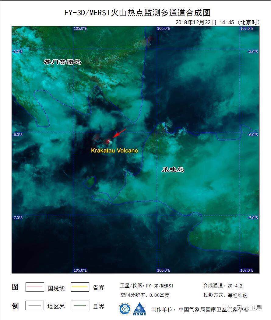
Fig. Volcano Krakatau in Indonesia on December 22, 2018 by FY-3D.
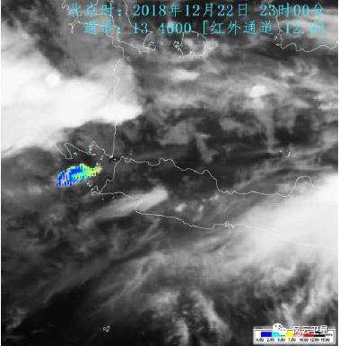
Fig. Volcano Krakatau in Indonesia on December 22, 2018 by FY-4A.
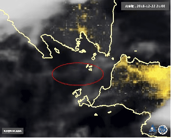
Fig. Volcano Krakatau in Indonesia on December 22, 2018 by FY-4A.
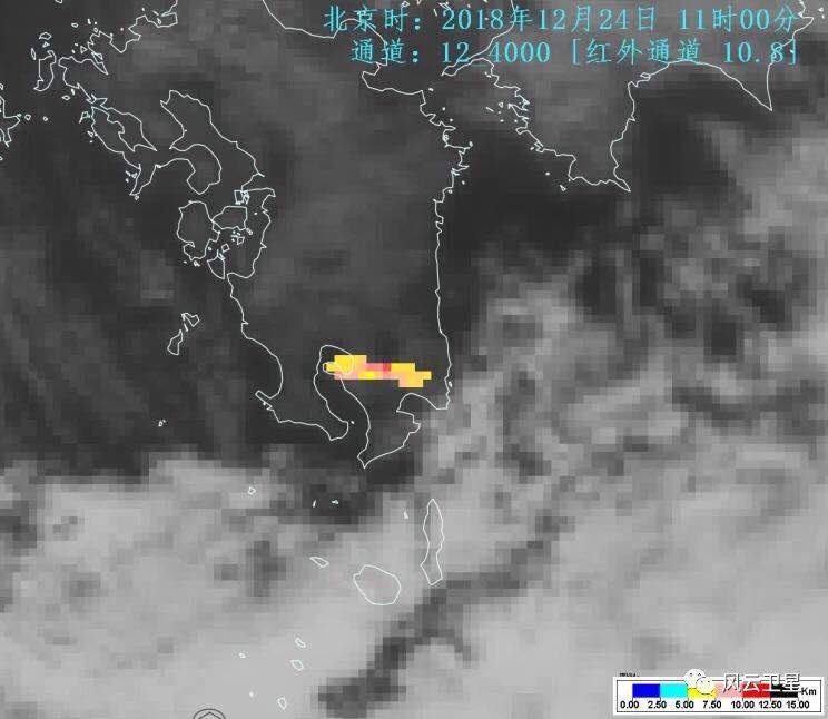
Fig. Volcano Sakura-jima in Japan on December 24, 2018 by FY-4A.
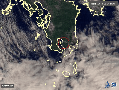
Fig. Volcano Sakura-jima in Japan on December 24, 2018 by FY-4A.