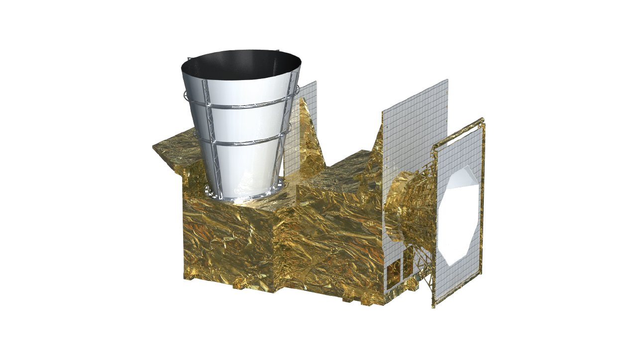
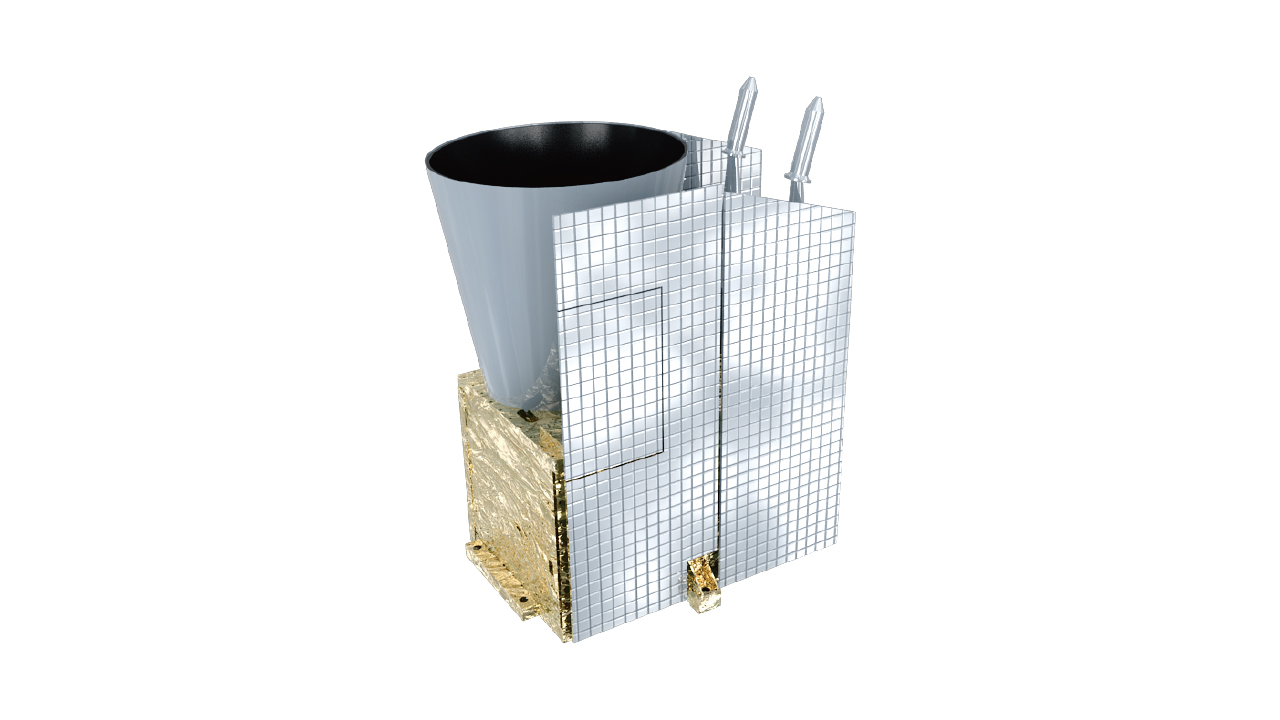
Advanced Geostationary Radiation Imager (AGRI)
A multiple channel radiation imager, one of the primary instruments aboard FY-4B. Technically featured by precisely designed two-mirror structure, capable of accurate and flexible sensing in two dimensions, and minute-level fast sector scanning. Frequent earth imaging over 15 bands with off-axis three reflections of primary optic system. On-board black body available for IR calibrations at very short time intervals.
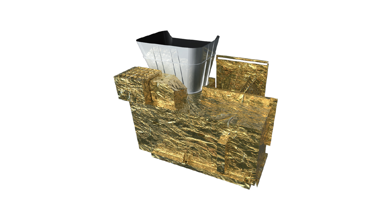
AGRI of FY-4
Primary instrument details:
| FY-4B (Operational) | FY-4A (R&D) | ||
|---|---|---|---|
| Number of bands | 15 | 14 | |
| Spatial resolution | VIS | 0.5~1km | 0.5~1km |
| near IR | 2km | 2km | |
| IR | 4km | 4km | |
| Temporal resolution | 15min/full-disc | 15min/full-disc | |
| Sensitivity | reflection bands | SNR=200@ρ=100% | SNR=200@ρ=100% |
| IR bands | NEΔT=0.2K@300K | NEΔT=0.2K@300K | |
| Calibration accuracy | reflection bands | 3~5% | 3~5% |
| IR bands | 0.7K | 1K | |
| Demo of FY-2 VISSR scan mode. | Demo of FY-4 AGRI scan mode. |
|---|---|
Parameters of FY-4B AGRI
| Band | Center wave length (μm) | Band width (μm) | Spatial resolution(km) | Sensitivity/SNR | Main purpose | |
|---|---|---|---|---|---|---|
| 1 | 0.47 | 0.45~0.49 | 1 | S/N≥90(ρ=100%) | Aerosol | |
| 2 | 0.65 | 0.55~0.75 | 0.5 | S/N≥150(ρ=100%)@0.5km | S/N≥3(ρ=1%)@1km | Fog, cloud |
| 3 | 0.825 | 0.75~0.90 | 1 | S/N≥200(ρ=100%) | S/N≥3(ρ=1%) | Vegetation |
| 4 | 1.379 | 1.371~1.386 | 2 | S/N≥120(ρ=100%) | S/N≥2(ρ=1%) | Cirrus |
| 5 | 1.61 | 1.58~1.64 | 2 | S/N≥200(ρ=100%) | S/N≥3(ρ=1%) | Cloud, snow |
| 6 | 2.25 | 2.10~2.35 | 2 | S/N≥200(ρ=100%) | S/N≥2(ρ=1%) | Cirrus, aerosol |
| 7 | 3.75 | 3.50~4.00(high) | 2 | ≤0.7K(315K) | Fire | |
| 8 | 3.75 | 3.50~4.00(low) | 4 | 0.2K(300K) | 2K(240K) | Land surface |
| 9 | 6.25 | 5.80~6.70 | 4 | 0.2K(300K) | 0.9K(240K) | High level water vapor |
| 10 | 6.95 | 6.75~7.15 | 4 | 0.25K(300K) | 0.9K(240K) | Mid level water vapor |
| 11 | 7.42 | 7.24~7.60 | 4 | 0.25K(300K) | 0.9K(240K) | Low level water vapor |
| 12 | 8.55 | 8.3~8.8 | 4 | 0.2K(300K) | 0.4K(240K) | Cloud |
| 13 | 10.80 | 10.30~11.30 | 4 | 0.2K(300K) | 0.4K(240K) | Surface temperature |
| 14 | 12.00 | 11.50~12.50 | 4 | 0.2K(300K) | 0.4K(240K) | Surface temperature |
| 15 | 13.3 | 13.00~13.60 | 4 | 0.5K(300K) | 0.9K(240K) | Cloud and water vapor |